In a way it was a good thing our planned hike at Kolob Canyons the day before fizzled, for it allowed us an extra day of rest before tackling another bunch of hikes. Having completed all the classic and strenuous treks we were interested in (click here and here to see them), we set our eyes on several easy and moderate ones within Zion Canyon. Getting an early start ahead of the crowds has been our best hiking strategy so far, and we’re sticking to it!
Watchman Trail
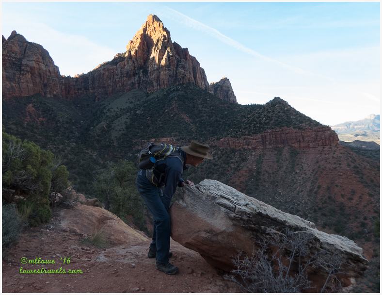
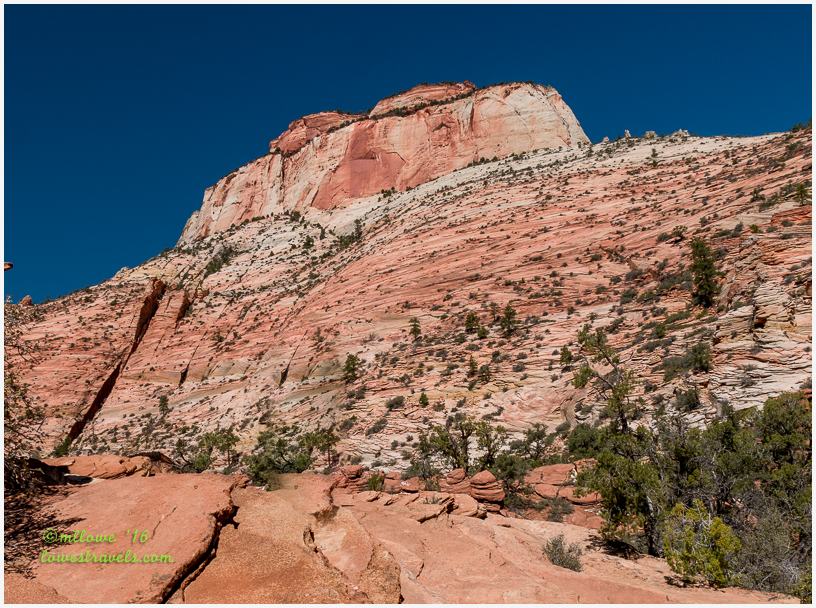
One of the landmarks folks notice upon entering the park is “The Watchman,” a dominant formation that appears to oversee the park’s entrance. We hiked Watchman Trail with its 456′ of elevation change, following along the foothills beneath massive Bridge Mountain and ending at a bench near the base of the Watchman Spire.
The highlight of this trail was the Indian Paintbrush with its blazing red hue, blooming alongside Prickly Pear – a constant reminder that we are in the desert. We were happy to be serenaded by an energetic wren that sang to us on this beautiful cool morning.


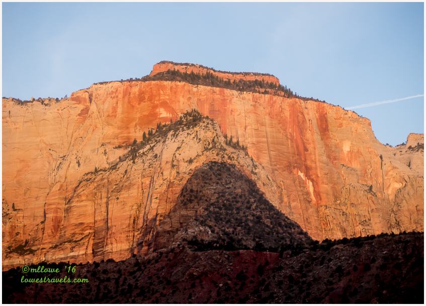
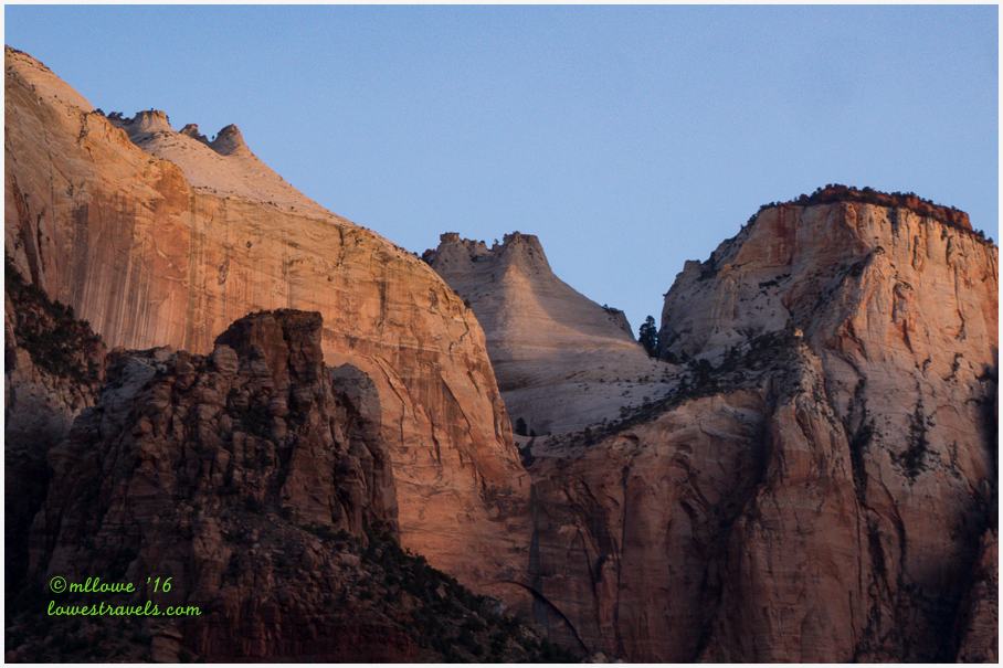
We heard on the shuttle’s recorded narration that the Towers of the Virgin, a large collection of peaks located directly west of the Zion Museum, would be first to display the rays of the rising sun. The peaks include West Temple, Sundial, the Altar of Sacrifice and Meridian Tower. They are each large mountains in their own right. Trudging along, we kept an eye on those peaks as the shadow line of the opposite-facing canyon wall crept down the Towers of the Virgin. Sure enough, it was the first peak lit by the slowly rising sun.
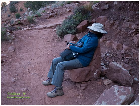
Highlighted by the morning sun, The Watchman stood guard as Steve moved some boulders around and I took a short nap in a chair-shaped rock.
Riverside Walk
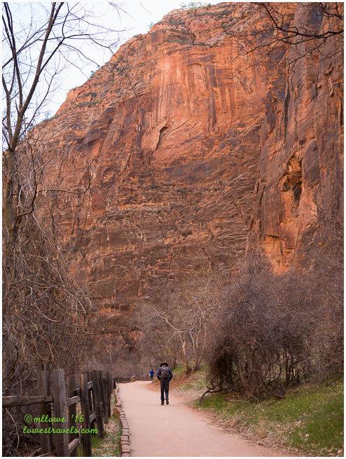
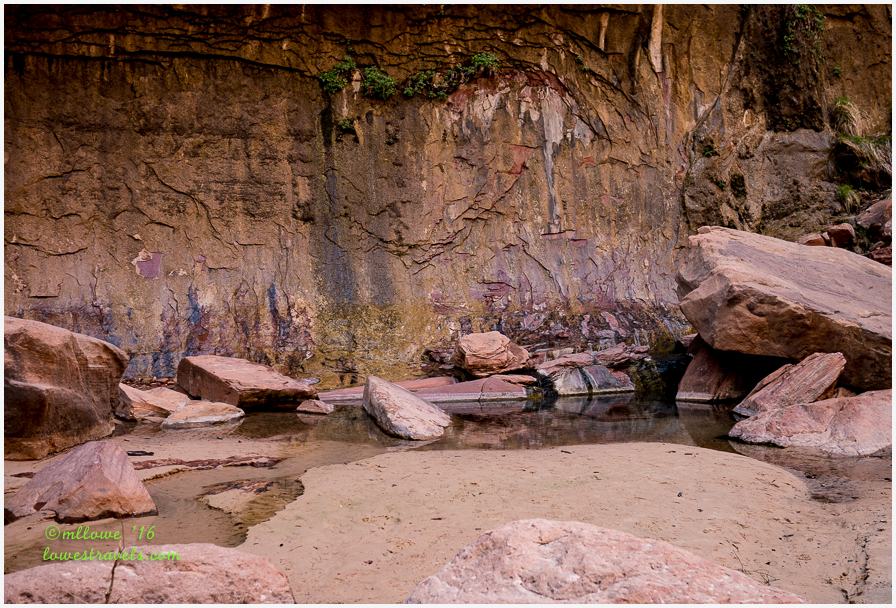
After completing the Watchman Trail we hopped on the shuttle and moved along to stop #9 for the Riverside Walk. We already knew we wouldn’t be taking the miles-long wading walk of The Narrows Trail, another classic (and very crowded) hike in Zion. But the well-traveled 2-mile in and out Riverside Walk took us to the starting point of The Narrows, where Navajo Sandstone walls close in and force the river through the passage of the renowned Zion Narrows.
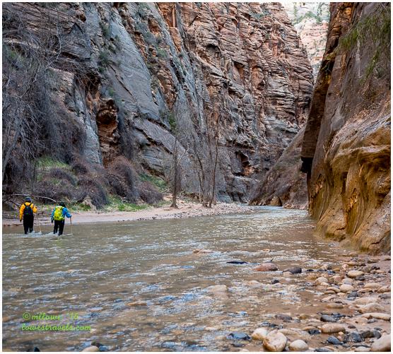
We stopped here and watched the excited hikers in vibrant river outfits as they began their “water walk” into The Narrows.
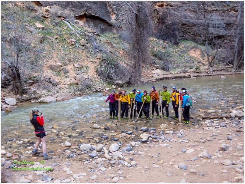
These hikers waded miles upstream in the Virgin River itself.
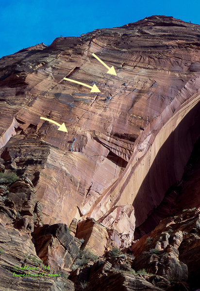
On our way back the shuttle driver alerted us to look up to see rock climbers halfway up a sheer canyon wall. The sandstone cliffs at Zion are world-renowned for their big wall climbs, and we saw several folks heading for the top.
Pa’rus Trail
From a Paiute word meaning “bubbling, tumbling water,” the Pa’rus Trail closely follows the Virgin River and is flanked by canyon walls. Instead of waiting for the shuttle on our way out of the park, we picked up this easy trail for a 1.8 mile walk from the Canyon Junction shuttle stop to the visitor center where our car was parked. This was a better alternative than riding the shuttle, because by early afternoon they were all packed.
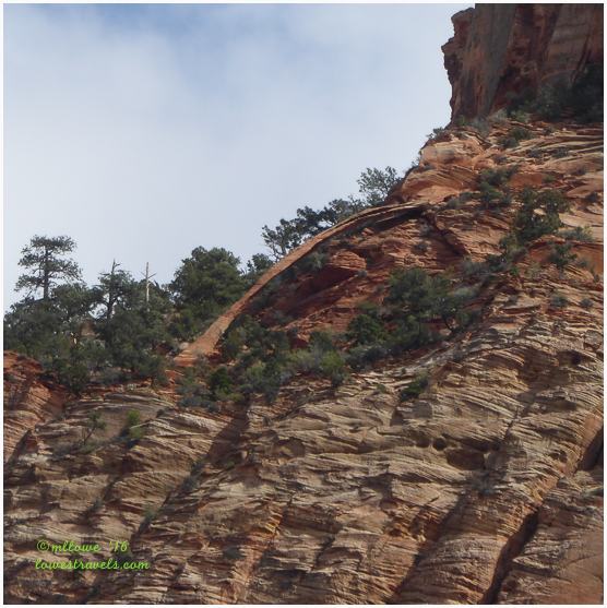
Without the aid of a plaque outside of the Human History Museum, we would have missed the tall and thin free standing arch high up on the west side of Bridge Mountain. The National Park Service named the span Crawford Arch in honor of the Crawford family, who were among the first Mormon settlers called to the canyon. The arch is clearly visible to folks walking the Pa’rus Trail.
Wildflowers carpeted the floor with purple, pink and white hues. Of course I had to stop several times to get pictures as Steve surged far ahead.


East Rim Trail
While visiting Zion NP, a hike or at least a drive to the east section of the park should be on everyone’s itinerary. In contrast to the main park, Zion’s east side is at a higher elevation and the evergreens are abundant. On another day we drove the 12-mile Zion-Mt. Camel Scenic Byway to get to the East Rim Trail, driving up several switchbacks and going through the mile-long tunnel on our uphill climb.
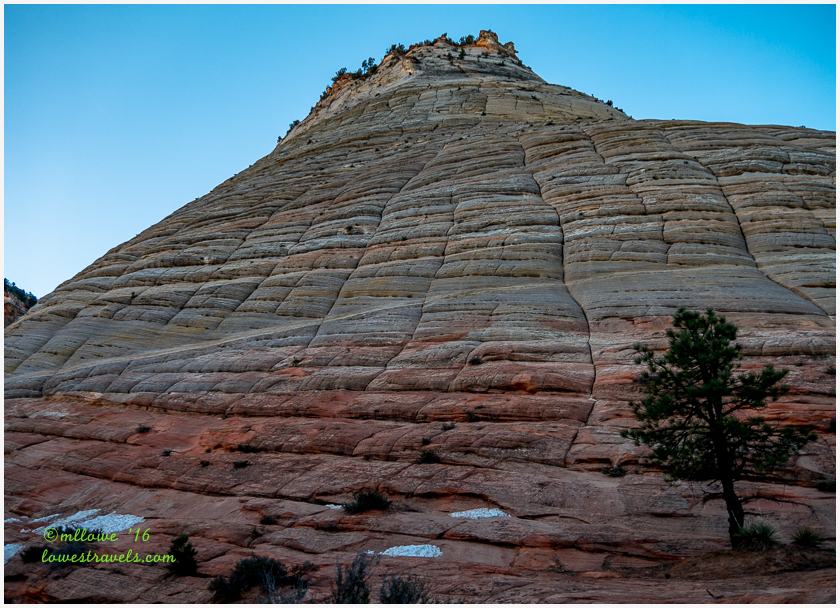
When we emerged from the tunnel heading east, what we saw was vastly different than the landscape in Zion Canyon. Instead of massive vertical cliffs, the mountains here resembled dunes of sand sculpted into hard rock with clearly defined cross bedding. With switchbacks, slickrock and sweeping views at every turn all we could say was, “Wow!”
Just before we picked up the trailhead for the East Rim Trail near the east entrance, Checkered Mesa came into view. It’s a petrified Navajo Sandstone mountain showing a pattern of irregular crosshatch patterns. Eons of freezing and thawing created vertical cracks, while erosion by wind and rain accentuated the horizontal bedding planes. Over time a pattern of irregular crosshatches emerged that resemble a checkerboard.
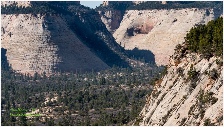
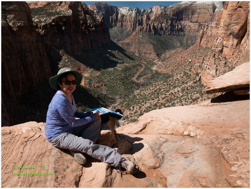
We hiked up the East Rim Trail to Jolley Gulch, a drainage point located in the Upper East Canyon. From there we had a nice view down into a canyon with Checkered Mesa in the distance. The scenery here was more subtle, displaying miles of isolated forests and meadows of the east plateau. Continuing down the trail a ways further, we made this a great 7-mile moderately-difficult hike that got us good and warmed up.
Canyon Overlook Trail
The Canyon Overlook trail lies right outside of Mt. Carmel tunnel and was our last hike of the day. To get to the overlook we walked along the side of the mountain and across a man-made walkway to an area of recessed rock. But before starting the hike we stopped to watch cars and RVs coming out of the tunnel.
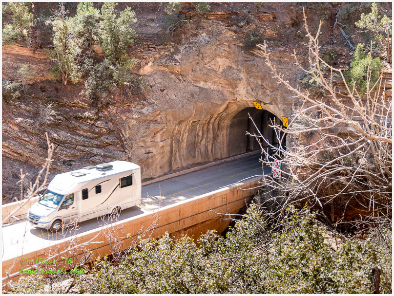
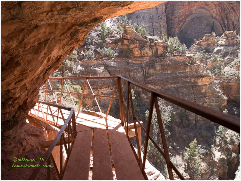
At the end of this hike we were rewarded with spectacular views of the canyon and forest below, tall mountains on both sides and the “gallery windows” built into the tunnel walls.

During tunnel construction, gallery windows were blasted into the cliff face above Pine Creek Canyon from which the crews could access the interior of the cliff and progressively bore their way through the rock. The gallery windows also served as holes for workers to use for getting rid of carved rock. They continue to supply much-needed ventilation and lighting for crews working inside the tunnel, since no lights have been installed. For details about the tunnel’s construction, click here.
The trails we followed in this area are often overlooked by visitors with limited time and resources, making a day here very pleasant.
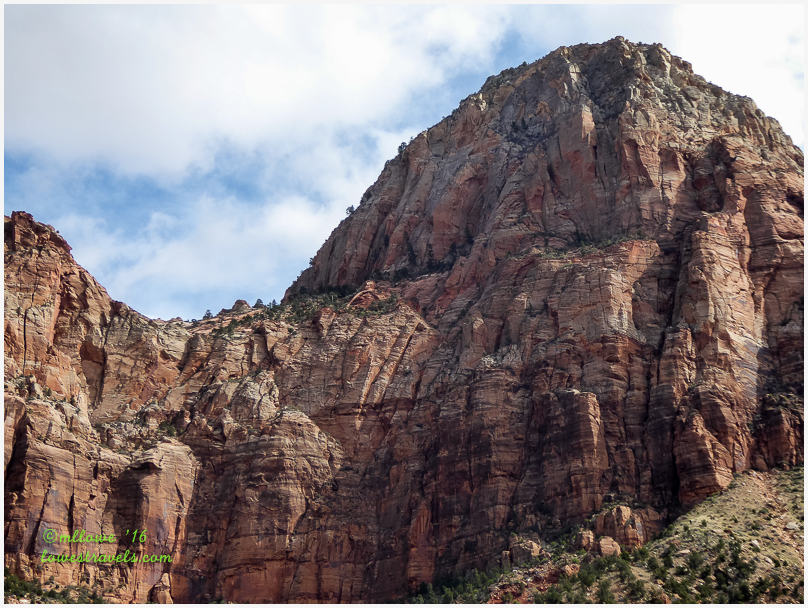
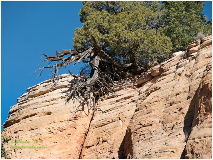
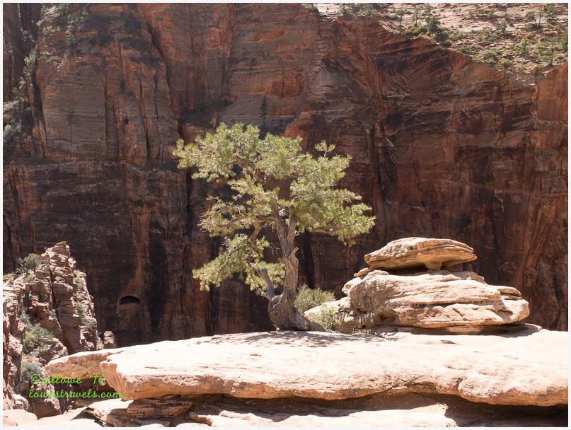
To summarize, all trails we followed inside the park either climbed up the towering canyons or ran through them with majestic walls all around. Regardless, we were always overloaded with captivating scenery and there was never a bad angle or a bad shot. Spectacular!

Too beautiful for words!
By the way, if any of your readers want to read a blog by a climber of rocks/walls and see his up close photos of what it’s like to actually BE on that wall!! I highly recommend this particular posting, not just for his wonderful photos but also for an insight into his love for the sport and what it’s all about, very interesting!
I love those tiny little wrens with the enormous voices!
Interesting arch and the climbers are insane. Beautiful
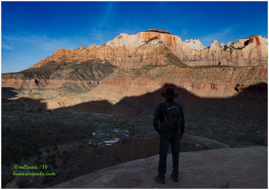
Thanks for all of the great ideas for hikes! We’ve hiked a couple of the trails, but other are new to us. I’ve always thought that I would like to hike The Narrows — any particular reason you guys decided not to do that one? Love the photo of you overlooking the Tower of Virgins. 🙂
Lots of fun much easier trails for sure:) I thought that anyone wondering about hiking should do the Canyon Overlook trail. It really gives you a feel for all things hiking. Next visit you can do more free hiking in the various canyons on the east side. Love that strange lady sleeping on the “chair!”
So nice that you can spend a fair amount of time to really get to know the park
I am beyond speechless with all the beauty and scale. Moreover, the time, energy, effort and even the way you get to all these destinations, you really fill me with all these marvels and wonders.
You have done Zion just so perfectly being up early in the morning and doing the popular trails first to have the less popular to yourselves. Driving through the tunnel is a great experience even for $15. Seeing the checkerboard is just amazing. Hard to believe. I sat on that same rock chair. I am LOVING your trip to Zion since I so so so want to return. Thanks Mona Liza.
This series of Zion posts are wonderful! We’ll be arriving there in a few weeks and are looking forward to doing many of these hikes ourselves. Thanks for sharing!
Hi glad you enjoyed it, just in case you missed it we used this link as our guide to most hikes we did. http://www.citrusmilo.com/zionguide/
Mike,
I’ve been following you guys for a while now and noticed on your home page that we might be crossing paths at Bryce Canyon. Maybe we could get together for a happy hour there? We’ll be arriving at Ruby’s Inn on 5/17 and staying for a week, does that mesh with your schedule?
~Steve